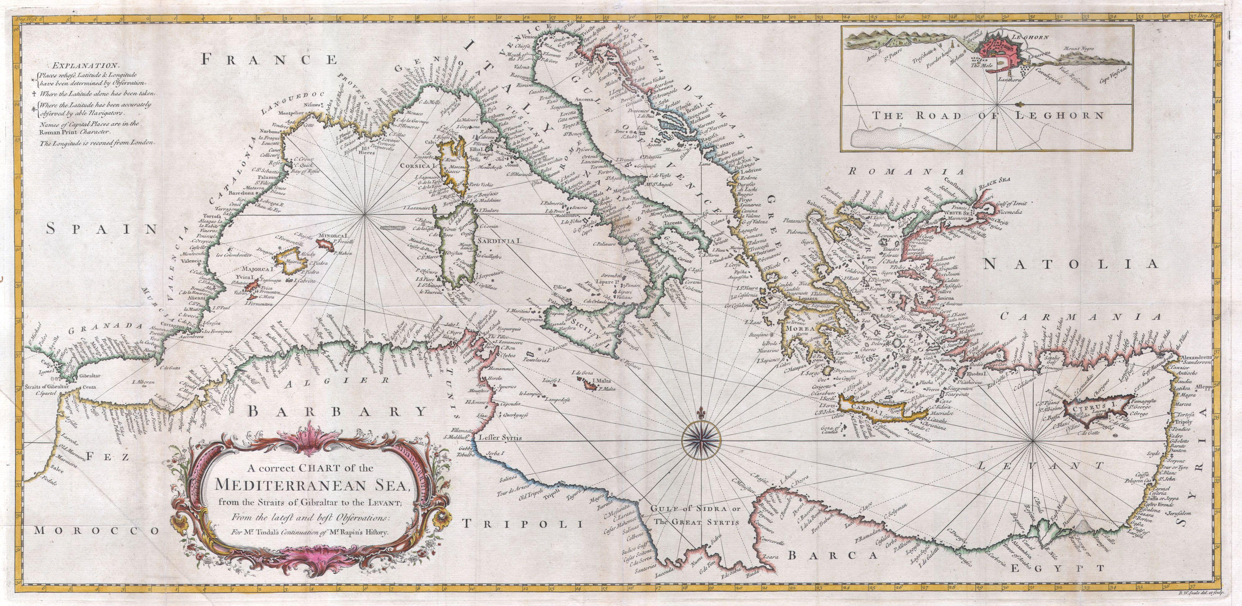
Here is a small sample of maps, historic charts and satellite photographs of (mostly) the Mediterranean Sea region. View of the Mediterranean Sea region (Source: Visible Earth catalog. Photo courtesy of NASA.) R. W. Seale, Chart of the Mediterranean Sea, 1745 (Source: Wikimedia Commons) Greek and Phoenician settlements in the Mediterranean Basin about 550 B.C. 
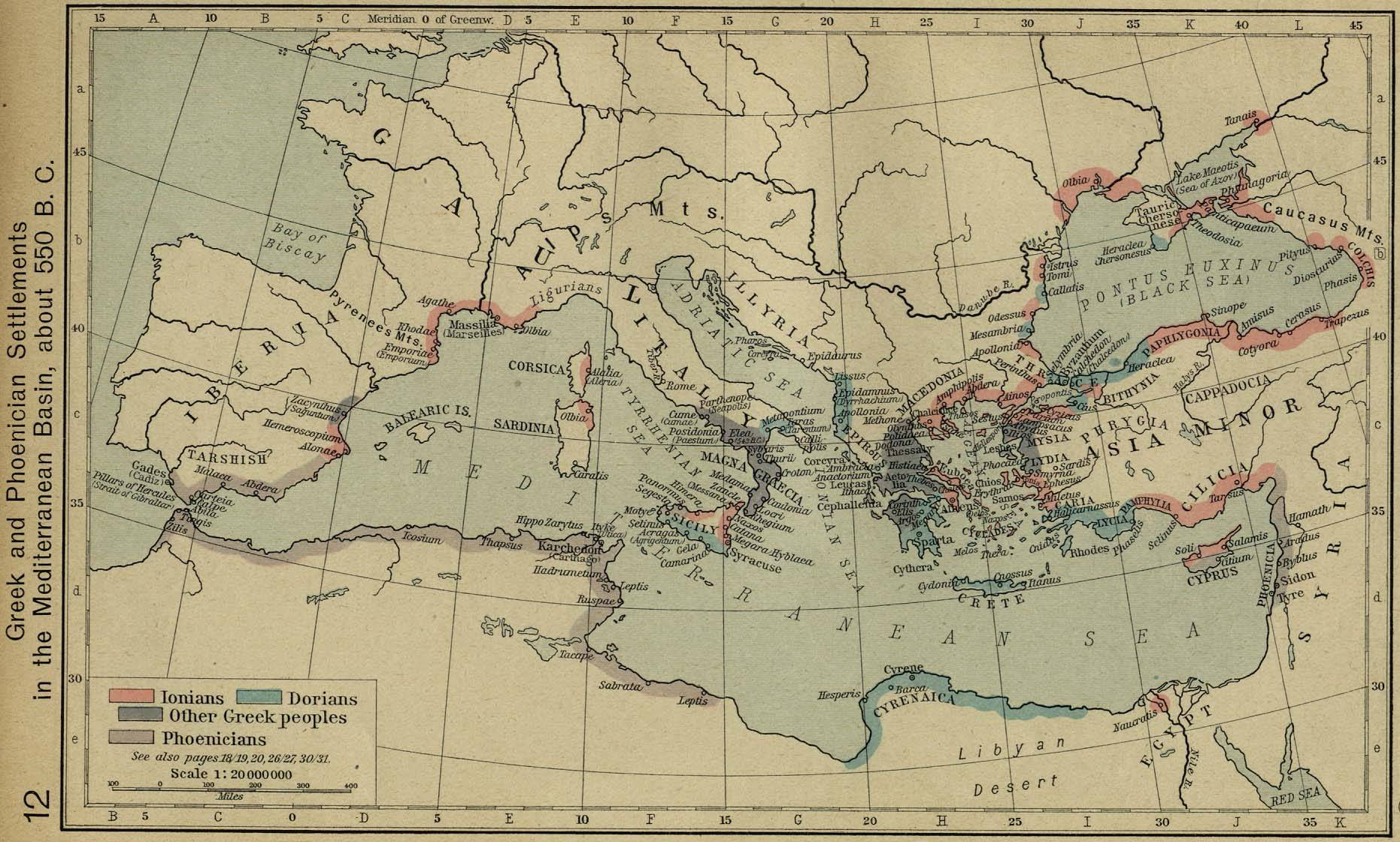
The Historical Atlas by William R. Shepherd, 1923. (Source: EmersonKent.com)
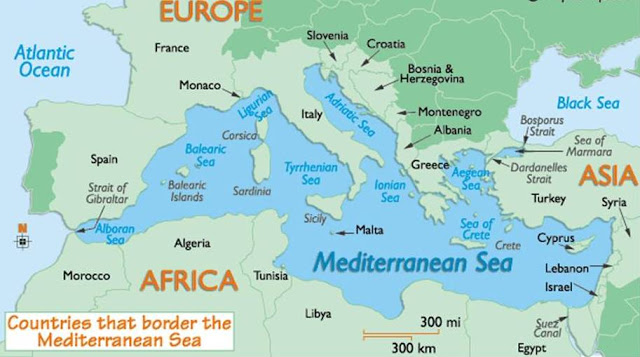
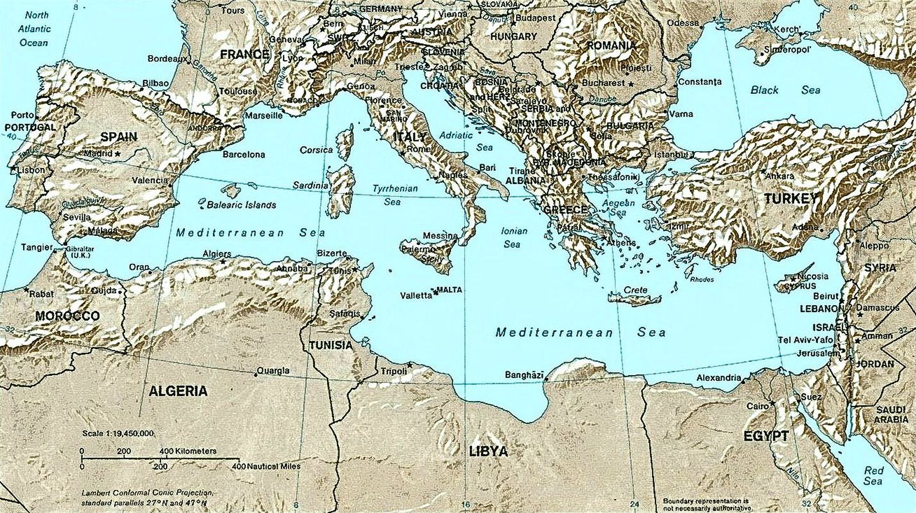
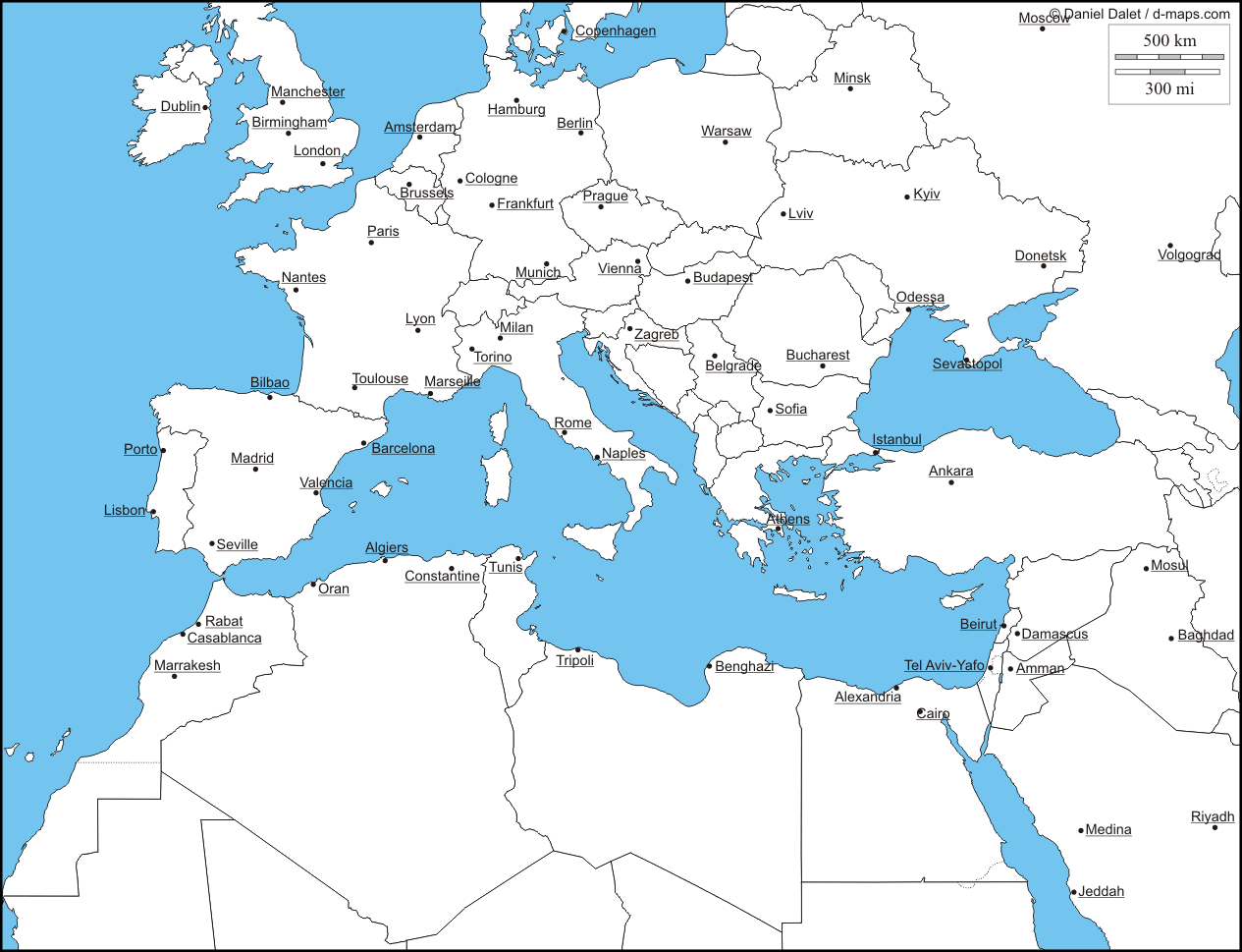
 Countries that border the Mediterranean Sea (Source: WorldAtlas.com (formerly, GraphicMaps.com)) Countries and relief map of the Mediterranean Sea as of September 2004. (Source: Wikipedia) Mediterranean Sea countries map by D-maps (Source: d-maps.com) Earth’s City Lights (Source: Visible Earth catalog. Photo courtesy of NASA.)